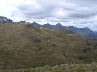
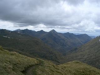
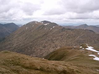
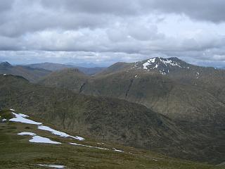
Previous |
Colin's Munros |
Next |
Access: If necessary, use bike, a second car or a local bus on A87 between end points of walk.
Alternatively, combine this with the South Cluanie Ridge on successive days
and camp by, or stay at, the Cluanie Inn in between.
Route: There is a Corbett, Am Bathach, which can be included at the end of the walk.
Ascending it avoids the rather wet, peaty valley path, and so is normally the better choice.
Weather 30/4/05: Warm, dry, clear views, cloud base above 4000'. Sunny intervals.
Weather 23/9/08: Overcast day, cloud base 3000’ touching tops.
| 30/4/04 | 24/9/08 | Description | Ht. | Asc. | Distance | Grid Ref. | Mob. |
| 0925 | 0800 | Park at or near Cluanie Inn or P on A87 by forestry E of Cluanie Inn |
220 | 0 | 0.0 miles | NH07611175 | Orange |
| 0955 | 0835 -0845 |
Bike W along A87 to P at corner of forestry 1 mile E of Eas-nan-Arm bridge over R.Shiel |
170 | (60) | 4.8 miles (5.7miles) 0.0 miles |
NH00891354 | No Orange |
| 0900 | Zigzag path N beside forest edge to top forest. (Clear but average/poor quality wet peaty path up from double bend signs) |
350 | 175 | 0.25 miles | NH00931393 | ||
| 1050 | 0945 -0955 |
Zigzag path N up to Bealach an Lapain (Good path on upper sections.) |
725 | 550 | 0.65 miles | NH00991454 | No Orange |
| 1115 | 1020 -1025 |
E to M Saileag | 956 | 780 | 1.2 miles | NH01781481 | No Orange |
| 1030 | 400m SE to col | 872 | 1.4 miles | NH02081464 | |||
| 150m ESE to by-passing minor top | 889 | 800 | 1.45 miles | NH02181459 | |||
| 1035 | 125m ESE to col | 855 | 1.55 miles | NH02281453 | |||
| 1044 | 250m ESE to minor top | 911 | 845 | 1.65 miles | NH02461452 | ||
| 1140 | 1045 | 100m E to col beside big slab | 880 | 1.7 miles | NH02571449 | ||
| 1155 | 1100 | 500m E to cairn at NW end of summit ridge of Sgurr a'Bhealaich Dheirg |
1014 | 980 | 2.0 miles | NH03041452 | |
| SE to col | 1005 | 2.1 miles | NH03141444 | ||||
| 1110 | 400m SE to cairn at S corner of summit ridge of Sgurr a'Bhealaich Dheirg |
1030 | 1005 | 2.2 miles | NH03311430 | ||
| N.B. Leave main ridge for summit: NE to col | 1025 | 2.27 miles | NH03391427 | ||||
| 1210 | 1115 | 250m NE to M Sgurr a'Bhealaich Dheirg | 1036 | 1020 | 2.35 miles | NH03501435 | No Orange |
| 1240 | 1130 | Return SW to main ridge, turning left at end of wall, then SE/E to bealach |
827 | 2.85 miles | NH03971390 | ||
| 1300 | 1200 | ESE/ENE to M Aonach Meadhoin | 1001 | 1205 | 3.45 miles | NH04891378 | No Orange |
| 1315 | ENE to col | 916 | 3.65 miles | NH05171388 | |||
| 1325 | 1215 -1220 |
ENE to T Sgurr an Fhuarail | 987 | 1275 | 3.85 miles | NH05441399 | No Orange |
| 1410 | 1245 -1300 |
N to W edge of Bealach a' Choinich. | 591 | 4.5 miles | NH05861502 | ||
| Head N up SW corner of ridge end (no path). Join path from Cluanie Inn, then N along path, by-passing An Cnapach |
(877) | 1560 | 5.1 miles | NH06251590 | |||
| 1330 | N to col north of An Cnapach | 850 | 5.2 miles | NH06221603 | |||
| 1500 | N to top | 929 | 1640 | 5.4 miles | NH06211638 | ||
| 1505 | 1345 | N to col | 915 | 5.5 miles | NH06161650 | ||
| 1510 -1525 | 1350 -1355 |
N to M Ciste Dhubh | 979 | 1710 | 5.6 miles | NH06221663 | No Orange |
| 1400 | Return S to col | 915 | 5.7 miles | NH06161650 | |||
| S to minor top | 929 | 1725 | 5.8 miles | NH06211638 | |||
| 1410 | S to col N of An Cnapach | 850 | 6.0 miles | NH06221603 | |||
| — | Detour to An Cnapach | 877 | 1755 | 6.05 miles | NH06251590 | ||
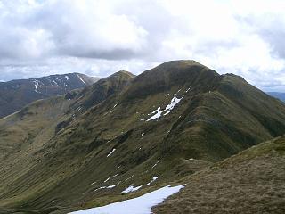
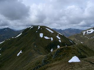
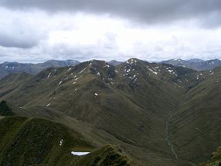
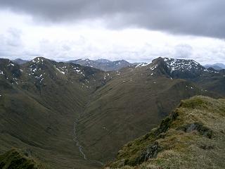
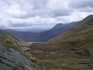
| 1610 | 1430 | Path S to SE side of Bealach a' Choinich. (Path descends centre of ridge end into peat bog; go to the right – see photo above.) |
591 | 6.75 miles | NH06301484 | ||
| — | 1435 | Either: SE to col | 565 | 6.8 miles | NH06331474 | ||
| — | 1510-15 | Path SE to C Am Bathach | 798 | 2000 | 7.5 miles | NH07321435 | No Orange |
| — | SE to col | 705 | 7.7 miles | NH07491406 | |||
| — | SE to top | 734 | 2030 | 8.0 miles | NH07731367 | ||
| — | 1545 | Path SSE to Orange signal abt 600m | 600 | 2050 | Orange | ||
| — | 1605 | Path SSE to top corner of ex-forest | 400 | 8.85 miles | NH08521255 | ||
| — | 1615 | Path SE along forest edge to gate at A87 | 225 | 9.25 miles | NH08931213 | ||
| — | 1620 | W on A87 to parking beside forest | 225 | 2050 | 9.4 miles | NH08701209 | Orange |
| 1725 | Or: Path SSE on E side of Allt a'Chaorainn Bhig to road (This path is probably better than that on the W side, but longer. That to the west starts as the track opp Cluanie Inn.) |
225 | 9.1 miles | NH08331187 | |||
| 1735 | Along A87 to Cluanie Inn | 220 | 1755 | 9.6 miles | NH07611175 | ||
| Then: Drive down A87 to collect bike. | 170 |
| Previous | Top | Next |