Previous |
Colin's Munros |
Next |
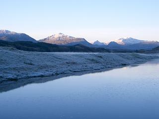
Access: Park on old stretch of A86 (on the S side of the new road)
just E of the bridge over the River Spean near the SW end of Loch Laggan, NN433830.
If that is full, there is more official parking just to the west of the bridge.
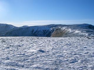
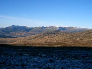
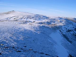
Route: On 18/11/05, my route from the reservoir at NN453809 to the summit of Beinn a' Chlachair
was dictated by time, and aided by the marshy ground being frozen.
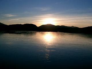
Being mid-November, the day was short, and indeed the sun set when I returned to the reservoir.
Ideally, one should traverse the whole ridge as in the GPS route given in the link above
because there are good paths to both ends of the ridge.
However, on 5/6/08 I just followed the path up to Bealach Leamhain
to reach Beinn a' Chlachair rather than traversing the whole ridge.
This enabled a slightly larger part of the walk to be covered by bike,
but is only 0.2 miles shorter than the full ridge traverse.
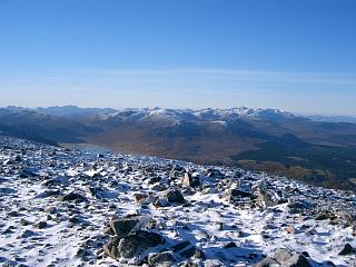
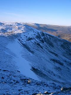
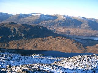
The trip out to Sron Garbh (an E top of Geal Charn) is well worth it for the view of the corrie.
Weather 18/11/05: Clear skies all day; –4°C at car; very light NE wind.
5/6/08: Warm, dry, clouds well above tops, occasional sunny spells, breeze.
| 18/11/05 | 5/6/08 | Description | Ht. | Asc. | Dist. | Grid. Ref. | Mob. |
| 0845 | 0920 | Park on A86 at bridge over R.Spean | 252 | 0 | 0.0 miles | NN43328307 | No Orange |
| 0905 | Take track SSE then E to T junction | 290 | 40 | 1.35 miles | NN44348220 | ||
| 0925 | Right track S/SE to fork at small reservoir | 350 | 100 | 2.5 miles | NN45248089 | ||
| 0950 | — | EITHER: Right track to Lubvan | 380 | 130 | 3.9 miles | NN44597896 | |
| — |
SE into Reidh Choire & up to SW ridge of B.a'Chlr. (I only chose this route to save time & because marshy ground was frozen. It's better to continue path S & ascend W ridge.) |
||||||
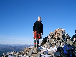
| 1125 -1150 | — | NE to M Beinn a' Chlachair | 1087 | 835 | 5.6 miles | NN47147817 | Orange |
| — | 1000 | OR: Left on track to path end by Lochan na h-Earba | 350 | 100 | 3.5 miles | NN46458100 | |
| — | 1045 | Path ESE to Bealach Leamhain | 735 | 485 | 5.4 miles | NN48928000 | |
| — | 1055 | Path SE to bottom of rocks at ridge end | 810 | 560 | NN49137970 | ||
| — | SW to Beinn a' Chlachair NE top | 972 | 720 | 6.8 miles | NN48647903 | ||
| — | 1145 | SSW/SW/W to M Beinn a' Chlachair | 1087 | 835 | 7.3 miles | NN47147817 | Orange |
| THEN: E/NE to col | 955 | NN48317895 | |||||
| 1225 | ENE to Beinn a' Chlachair NE top (on map fold) | 972 | 850 | 6.7 miles | NN48647903 | ||
| 1245 | 1235 | Straightforward descent NE through rocks to path, then NW down to Bealach Leamhain. |
735 | 7.5 miles | NN48928000 | ||
| 1330 | 1330 | N/NE to M Geal Charn (trig pt) | 1049 | 1165 | 8.8 miles | NN50458118 | Orange |
| Optionally: ESE to col | 995 | NN50698107 | |||||
| 1340 | E to X Sron Garbh | 1023 | 1195 | NN50938104 | |||
| WNW back to col | 995 | NN50698107 | |||||
| 1350 | 1355 | WNW back to M Geal Charn | 1049 | 1250 | 9.5 miles | NN50458118 | |
| Then WSW/W to bealach at path | 835 | 10.4 miles | NN49148100 | ||||
| WNW to bump | 836 | 1260 | NN49008107 | ||||
| WNW to col | 815 | 10.55 miles | NN48878116 | ||||
| 1425 | 1425 | NNW to M Creag Pitridh | 924 | 1370 | 10.75 miles | NN48748146 | Orange |
| 1510 | 1455 | W down ridge, then S into corrie to join path at ford by Allt Coire Pitridh |
485 | 12.0 miles | NN47348048 | ||
| 1510 | Path end by Lochan na h-Earba | 355 | 12.7 miles | NN46458100 | |||
| 1530 | NW to bridge on track at Lochan na h-Earba | 355 | 13.1 miles | NN46288134 | |||
| 1545 | Track SW to fork by reservoir | 350 | 13.9 miles | NN45248089 | |||
| Track NW/N to T-junction | 290 | 15.1 miles | NN44348220 | ||||
| 1625 | 1600 | Track W/N back to P at A86. | 252 | 1370 | 16.4 miles | NN43328307 | No Orange |
| Previous | Top | Next |