

Previous |
Colin's Munros |
Next |
Route:
This is a full day's walk over three Munros, culminating at the Munro top Stacan Dubha which,
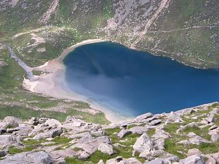
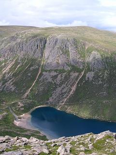
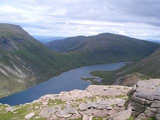
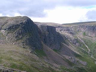
like its neighbour Carn Etchachan, has amazing views of Loch Avon and its surrounding cliffs.
Stacan Dubha is a must-visit top of Beinn Mheadhoin.
The Corbett top Meall an Lundain (NO06199481) is optional and is easily by-passed by going
from Glen Derry path straight to the bealach at NO05469590. This saves 100m of ascent.
The walk is easily shortened to include only Beinn Mheadhoin as in the next page,
or to include only Beinn Bhreac and Beinn a'Chaorainn as in the following page.
If taking the western path up Glen Derry, you can start off up the wheeled vehicle track
but take care to go right at the rather indistinct fork at NO04149379 for otherwise
you will continue onto a rather boggy ATV track one or two hundred yards to the west of
the walkers' path. However, note also that the upper bridge over the
Derry Burn at NO03979577 is officially closed. (Last checked in March 2019.)
It is described as dangerous, apparently because of flood damage to the eastern pier
(see CairngormWanderer).
The OS 1:25k map shows two enclosures without trees in Glen Derry.
The surrounding deer fences have been removed and there are now mature scots pines there.
North of these plantations, there is a potentially difficult ford of the Glas Allt Mor at NO03599869
where a bridge is surely needed. Otherwise, be aware that weather conditions such as high winds
can make it dangerous to ascend the exposed summit barn of Beinn Mheadhoin.
Grumble:
Due to short-sighted but deliberate methods used in the path re-construction up Glen Derry with raised stones
and deep culverts in order to deter mountain bikes, I recommend cycling not much further than Derry Lodge.
In my experience mountain bikers have never been a problem to walkers here. Unfortunately, this bit
of "progress" unfairly denies the less able as well as bikers from being able to access,
experience and benefit fully from the National Park.
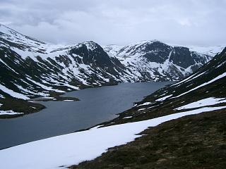
Weather: Frequent showers of hail/snow (in June!). Cloud at 3500', 1"-2" snow on ground on tops.
Unfortunately no view from Beinn Mheadhoin nor any of its tops on this occasion – its top
Stacan Dubha has one of the best views of Loch Avon & surrounding crags.
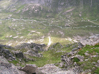
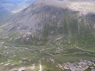
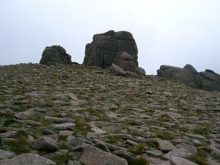
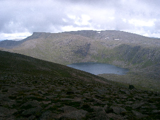
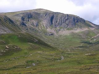
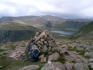
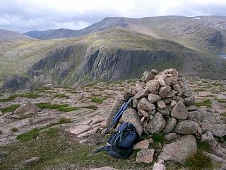
The photos are mostly from August 2005.
| 0825 | Park at Linn of Dee (No Orange) | 375 | 0 | 0.0 miles | NO0627289820 |
| 0835 | Cycle to bridge over Lui Water | 400 | 42 | 1.15 miles | NO06359145 |
| 0855 | Cycle to Derry Lodge | 425 | 72 | 3.1 miles | NO0410793414 |
| 0900 | Derry Lodge | 425 | 72 | 0.0 miles | NO0410793414 |
| 0905 | N on Glen Derry path (E bank) to forest edge | 430 | 77 | 0.3 miles | NO04329360 |
| 0955 | Optional: NE over heather moor to Meall an Lundain |
777 | 425 | 1.7 miles | NO0620594828 |
| 1020 | NNW to lochan at bealach | 673 | 2.55 miles | NO05389592 | |
| 1055 | Path NNE to M Beinn Bhreac, E top | 931 | 680 | 3.3 miles | NO0586997076 |
| 330m W to col | 907 | 3.55 miles | |||
| 1105 | 250m W to T Beinn Bhreac, W top | 927 | 700 | 3.7 miles | NO0528497200 |
| N to broad bealach NO050986 | 850 | 4.7 miles | NO050986 | ||
| 1225 | N to 324T Beinn a'Chaorainn Bheag | 1017 | 875 | 6.67 miles | NJ05730172 |
| 1235 | W to col between two lochans | 945 | 6.85 miles | NJ05430165 | |
| 1255 -1305 |
W to M Beinn a'Chaorainn (Orange) | 1082 | 1005 | 7.45 miles | NJ04530135 |
| 1335 | SW to Lairig an Laoigh path at boundary (Some good scree for last 150m descent) |
740 | 1005 | 8.47 miles | NJ0333100490 |
| 1420 -1425 |
Steep but easy ascent WNW to T Stob Coire Etchachan (Orange) |
1082 | 1350 | 9.07 miles | NJ02470055 |
| NW to col | 1056 | 9.25 miles | NJ02180068 | ||
| 1445 | N to middle top (stack) | 1160 | 1450 | 9.6 miles | NJ02220122 |
| NNE to col | 1144 | 9.7 miles | NJ02280144 | ||
| N passed small stack | 1150 | NJ0230401517 | |||
| N passed another stack | 1155 | NJ0233401595 | |||
| 1455 -1505 |
N to M Beinn Mheadhoin and ascend barn. (Orange) |
1182 | 1490 | 9.9 miles | NJ02460169 |
| Return SSW to col | 1144 | 10.1 | NJ02280144 | ||
| SSW bypassing middle top (stack) | 1160 | NJ02220122 | |||
| W to col | 1147 | 10.33 miles | NJ02020123 | ||
| 1520 | SW to Beinn Mheadhoin S top (cairn) | 1163 | 1510 | 10.45 miles | NJ01850117 |
| SW for 250m on RHS slope of ridge | 1100 | 10.6 miles | NJ01670100 | ||
| NW down easy fast "scree" of coarse granite sand to col. |
985 | 10.9 miles | NJ0131601277 | ||
| 1540 | NW to T Stacan Dubha. Include this for superb view of L. Avon & surrounding crags |
1013 | 1530 | 11.03 miles | NJ01190153 |
| S/SSW to path at county boundary | 950 | 11.6 miles | NJ01130061 | ||
| 1600 | Path SSE to Little Loch Etchachan outflow | 925 | 11.83 miles | NJ01290032 | |
| 1620 | Path ESE down to Hutchison Memorial Hut | 700 | 1540 | 12.57 miles | NO0229999792 |
| 1635 | Path E to footbridge | 625 | 13.2 miles | NO03209948 | |
| 1645 | SE to junction with Lairig an Laoigh path | 600 | 13.6 miles | NO0353599050 | |
| 1700 | N end of Northern enclosure | 525 | 14.22 miles | NO0355698037 | |
| 1705 | S end of northern enclosure | 525 | 14.5 miles | NO0354297557 | |
| Track S to right fork onto path | 500 | 15.45 miles | NO03629613 | ||
| 1730 | Path S to bridge over Derry Burn (unsafe?) | 497 | 1542 | 15.7 miles | NO0396995773 |
| 1800 | Path on W bank to bridge at D.Lodge (This is the more scenic side of the river) |
433 | 1547 | 17.15 miles | NO0404893520 |
| 1805 | Track E to Derry Lodge | 425 | 1552 | 17.3 miles | NO0410793414 |
| 1810 | Cycle at Derry Lodge | 425 | 0.0 miles | NO0410793414 |
| 1825 | Cycle S to bridge over Lui Water | 400 | 1.9 miles | NO06359145 |
| 1835 | P at Linn of Dee (No Orange) | 375 | 3.1 miles | NO0627289820 |
| Previous | Top | Next |