

Previous |
Colin's Munros |
Next |
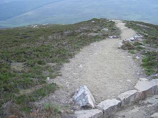
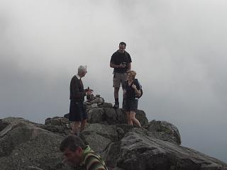
There's not much to report about Schiehallion except that it is a very easy and accessible mountain, and so straightforward for all one's friends, making it a good one with which to finish a Munro round. There's a good path all the way, which makes lugging whisky, champagne, caviar, etc. to the summit much easier. The mountain is of historic and scientific importance, having been used by Maskelyne to weigh the Earth in 1774. It is now owned by the John Muir Trust which has made considerable improvements to the path, making it one of the best up any Munro. Being towards the south and east, there is a higher chance of decent weather here than for most other Munros.
Access: From Pitlochry, take the high street (Atholl Road) northwards
under the A9 & take first left before the A9 (B8079 to Killiecrankie).
After about 1.5 miles take B8019 left to Tummel Bridge.
(Stop at Queen's View for the scenery.)
After a further 11-12 miles is Tummel Bridge, at the far end of Loch Tummel.
There, take the B846 left towards Aberfeldy.
After about 4 miles (and about ½ mile after a small loch),
take the sharp right signposted Schiehallion/Kinloch Rannoch.
The car park is on left when emerging from the trees after 2 miles.
The total distance from Pitlochry to Schiehallion is about 20 miles.
Terrain: An excellent path most of the way, but rocky along the summit ridge.
| 1 | Park at Braes of Foss P | 331 | NN75335567 |
| 2 | Path from top of car park WSW to M Schiehallion | 1083 | NN7138554769 |
| 3 | Return by same route to Parking | 331 | NN75335567 |
| Previous | Top | Next |