Previous |
Colin's Munros |
Next |
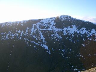
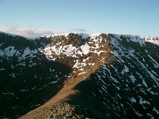
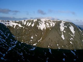
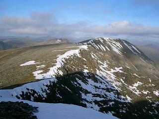
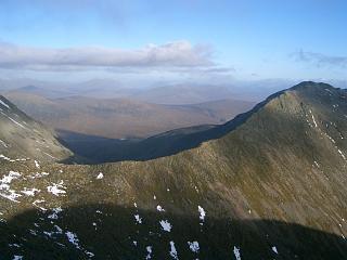
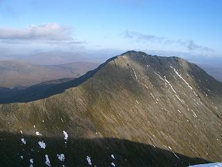
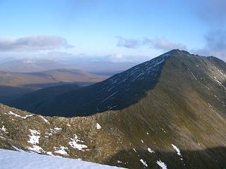
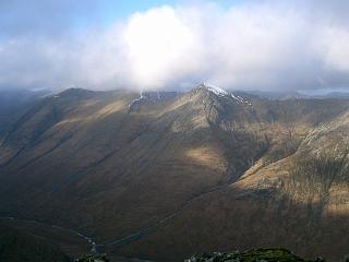
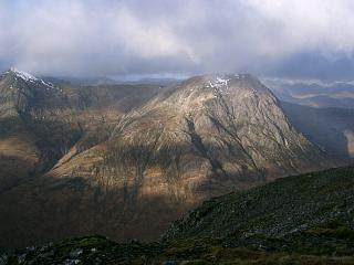
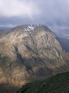
(Photos above from 1st Dec 2006)
Rating: 5* views throughout.
| 1/02/06 | 1/12/06 | Description | Height | Asc. | Distance | Grid Ref. |
| 0910 | 1400 | Park at the White Corries Ski Centre off A82. (Orange) | 350 | 0 | 0.0 miles | NN26645255 |
|
Use a horizontal path round the NE flank of Creag Dubh. This starts along the bottom of the forestry. There's a bridge at the top of the upper car park if needed. |
||||||
| 0950 | 1310 | W then S to the Allt Cam Ghleann at waterfall (Orange) | 375 | 25 | 1.5 miles | NN24835264 |
| Cross river and ascend NE ridge of Stob a'Ghlais Choire. The ridge crest can be a dangerous scramble, at least in cloud. Difficulties can be avoided by going further to the left (south). Instead, walkers could continue up path on E bank to the main stream from Glas Choire at 540m, then ascend this stream to the corrie's lower lip at about 750m. Then either 1) sharp right (NNW) to the ridge at about 900m and then sharp left (WSW) up the final 400yds of less steep part of ridge, or 2) continue up the corrie to the col south of the top. (Snow patterns indicated a path possible for this, but the final few feet are steep.) |
||||||
| 1050 |
Emerged from cloud to view at 750m after exposed, difficult rock climb. Wow! (Almost vertical, glacially polished, holdless rock, unavoidable in cloud; worse than anything I've done in Skye, such as Clach Glas.) |
750 | 400 | 2.0 miles | NN24415191 | |
| 1125 -1130 |
1215 | SW to T Stob a'Ghlais Choire (Orange) | 996 | 645 | 2.35 miles | NN24015162 |
| 220yds S to col | 965 | 2.45 miles | NN23885146 | |||
| 1200 | 1145, 1150 |
S to M Creise (Orange) There are two cairns, the first at the ridge N end is 300yds before the second which is at the true summit. |
1100 | 780 | 3.0 miles | NN23845063 |
| 1212 | 1130 | S along almost horizontal ridge to Mam Coire Easain where a ridge connects to Meall a'Bhuiridh (Orange) |
1068 | 790 | 3.43 miles | NN23855000 |
| 1220 | S to col | 1033 | 3.7 miles | NN23914958 | ||
| 1230 -1235 |
1110 | S to T Clach Leathad (No Orange) | 1099 | 860 | 3.87 miles | NN24044932 |
| 1245 | Return N to col | 1033 | 4.05 miles | NN23914958 | ||
| 1250 -1255 |
1050 | Continue N for 460yds to Mam Coire Easain (Orange) There is a cairn 15m W of the highest point, none at the highest point, then another cairn 5yds NE of the highest point where path descends to the col. |
1068 (1070) | 880 | 4.3 miles | NN23855000 |
| 1315 | 1035 | E for 550yds down ridge to col (v. easy – 500' descent) | 932 | 4.63 miles | NN24335008 | |
| 1340 | 1000 -1010 |
ENE to M Meall a'Bhuiridh | 1108 | 1070 | 5.1 miles | NN25075035 |
| 1355 | Cross E to mast at top of ski tows. | 1090 | 5.2 miles | NN25195033 | ||
| 0925 | Descend NE beside ski tows to Upper ski station. (Watched winter skills party for ½hr near here.) |
850 | 5.65 miles | NN25545097 | ||
| 1510 | 0910 | Follow ski lifts/tows NE down to
Middle ski station. (Entered cloud.) |
710 | 5.9 miles | NN25695134 | |
| 0900 | Track down to next ski station | 680 | 6.2 miles | NN26085160 | ||
| 1545 | 0825 | Follow path NNE under chair lift down to parking at White Corries Ski Centre (Orange) |
350 | 1070 | 7.0 miles | NN26645255 |
| Previous | Top | Next |