Previous |
Colin's Munros |
Next |
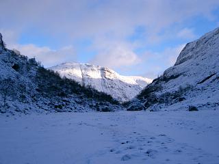
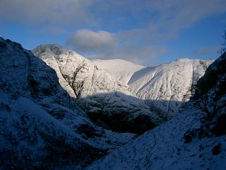
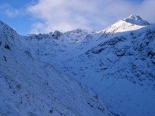
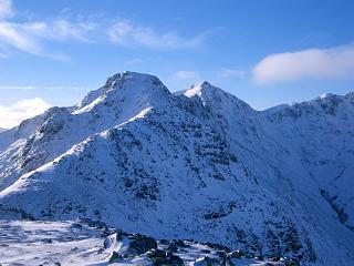
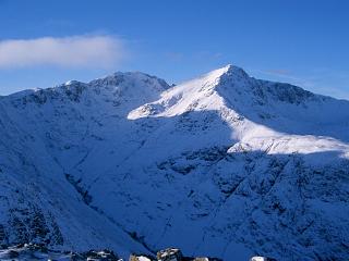
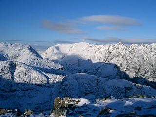
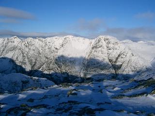
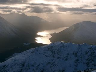
Route:
This route is just a shortened version of that here
which I had intended to do but was limited by darkness and deep snow.
Unless the weather is poor or there's too much snow and ice,
the full walk should be possible most days of the year if you're an average guy like me.
However, I had picked almost the shortest day of the year, was later in starting than desirable,
and heavy snowfall the previous night meant deep snow up to 4' deep in places.
The weather during the day was excellent, but crampons were necessary above 2500'
despite the snowfall.
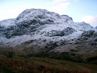
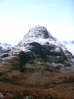
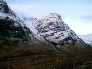
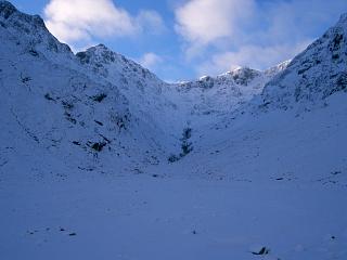
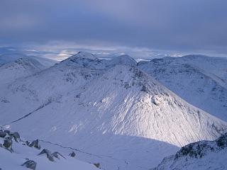
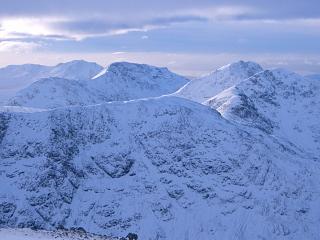
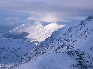
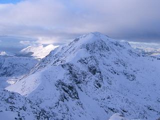
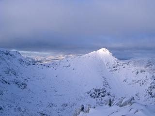
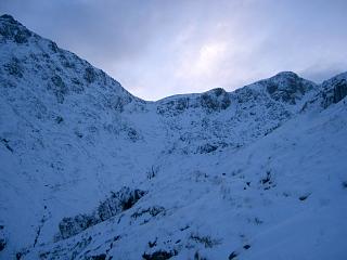
It's worth ascending these hills in such conditions because of
the fantastic scenery – see photos above.
I've included this route description to give the times for an average walker when the snow line
is down to 350m or less so that even the Lost Valley has a covering of snow.
There are several difficulties on this route which are covered in the full version.
So you should not attempt this route unless you are competent with scrambling and have both experience
of winter conditions and appropriate equipment if there is any snow or ice.
A head for heights would also be useful.
| 0905 | Park at Meeting of Three Waters Helipad | 163 | 0 | NN17125687 | 0.0 miles |
| Track SE to bridge at Meeting of Three Waters | 140 | NN17335638 | 0.33 miles | ||
| Path SW beside Allt Coire Gabhail to middle of plain in the Lost Valley. Make sure to cross river where scree starts on NW side. (I incorrectly stayed on NW side after the large boulder.) |
365 | 240 | NN16465534 | 1.2 miles | |
| 1135 | Ascend SE to ridge at NN169548, keeping to right of prominent gully. (Very steep, needed crampons, the only time I wished I had my ice axe with me! – challenging!) |
785 | 645 | NN16915480 | 1.6 miles |
| 1145 | NE to top | 823 | 685 | NN17005502 | 1.75 miles |
| Return SW to col | 785 | NN16915480 | 1.9 miles | ||
| 1225 | SW to T Beinn Fhada NE Top | 931 | 830 | NN16435431 | 2.33 miles |
| SW to col | 876 | NN16305416 | 2.45 miles | ||
| 1245 | SW over bump to T Beinn Fhada | 952 | 915 | NN15995405 | 2.66 miles |
| SW to col | 902 | NN15735388 | 2.85 miles | ||
| 1334 | Ascend ridge, going up gully to left of "bad step" (which was filled with very deep snow) to M Stob Coire Sgreamhach |
1072 | 1085 | NN15495365 | 3.05 miles |
| NW to Bealach Dearg | 944 | NN15085370 | 3.3 miles | ||
| Easy descent NE by path into Lost Valley. Then path NE to bridge over R. Coe |
140 | 1085 | NN17335638 | 5.5 miles | |
| 1630 | Path NE up to Helipad parking on A82 (now dark) | 163 | 1115 | NN17125687 | 5.85 miles |
| Previous | Top | Next |