Previous |
Colin's Munros |
Next |
| 1215 | Park at P on A9 at pass summit, NN633755. | 460 | 0 | 0.0 miles | Orange |
|
Take cycle track 200yds S, then path to railway bridge over river at NN632753 but cross railway to right (N) of bridge. |
445 | ||||
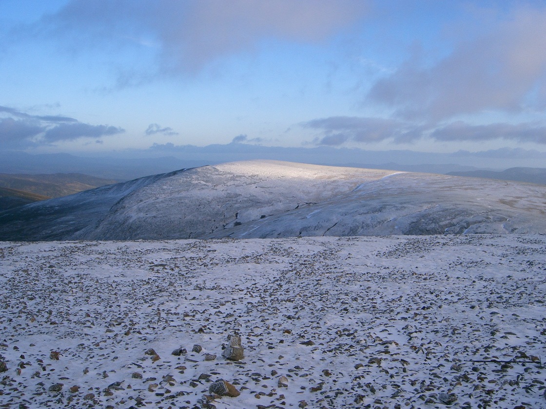
| 1315 | Track W up Coire Dhomhain to end.
(Good fast track, but river difficult to cross. Need wellies for crossing to preferable path up to E ridge.) |
630 | 195 | 3.0 miles | |
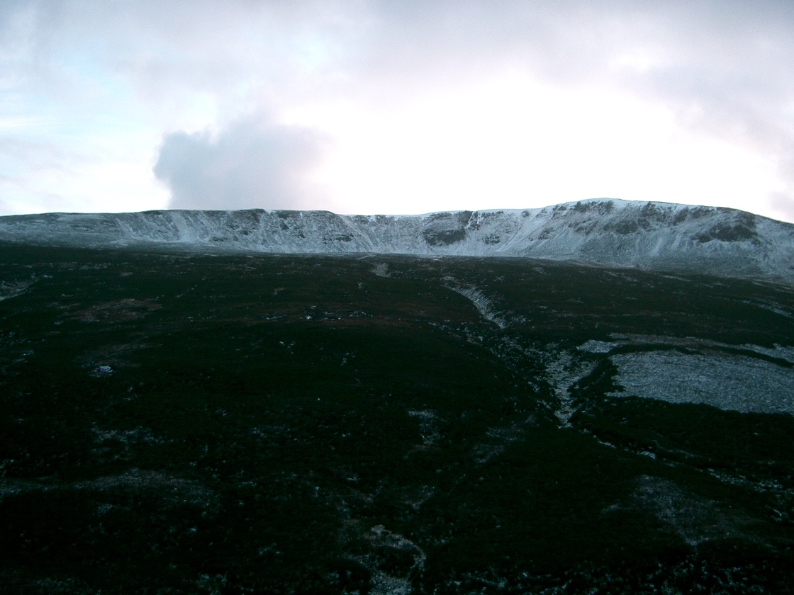
| 1400 | S up N ridge to trig post of M Sgairneach Mhor |
991 | 555 | 4.0 miles | No Orange |
| 1420 | W to bealach at NN583728 | 810 | |||
| 1450 | NW/N to M Beinn Udlamain | 1011 | 755 | 6.2 miles | Orange |
| 1525 | Straightforward direct descent (but some heather) back to track end NN623741 |
630 | 8.1 miles | ||
| 1620 | Return by track down Coire Dhomhain to A9. | 460 | 775 | 11.1 miles | Orange |
| Previous | Top | Next |