Previous |
Colin's Munros |
Next |
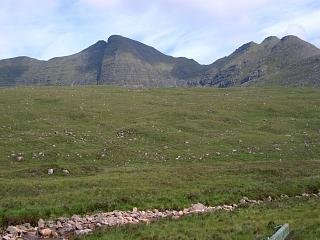
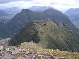
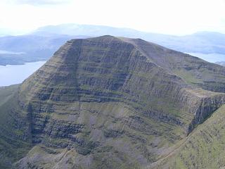
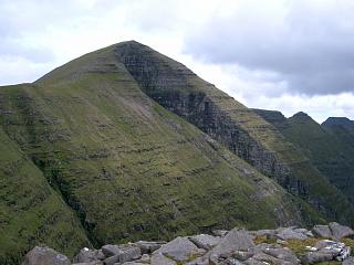
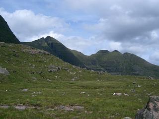
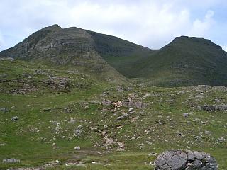
Evaluation: 5 stars
Route: Anti-clockwise must be the best direction to do this:
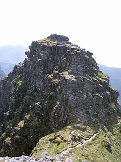
the big rocky steps of the ascent to the first pinnacle of the Horns
are easier this way; the scree and boggy descent from Tom na Gruagaich
is much softer on the feet. The only disadvantage of this direction is
a slightly tricky scrambling descent from the first pinnacle of the Horns.
There is a well-made path all the way round with some minor scrambling.
There is a lovely, easy horizontal path below the ridge to the SW of the horns
from the col after the first pinnacle to just before the col between
the third and last horn Na Rathanan and Sgurr Mhor (at NG87216130).
It avoids all the scrambling over the second and third horns.
Weather 7/11/08: Dry, overcast, but clouds well above tops, cool breeze,
8°C at car at start, 11°C on return.
Mobile: Orange available at the two Munros, but not at the car park.
| 28/6/04 | 7/11/08 | Description | Ht. | Asc. | Dist. | Grid Ref. |
| 0920 | 0650 | Park at P, 2 miles W of Torridon (W side of bridge in forest on S side of road) |
40 | 0 | 0.0 miles | NG86915761 |
| 0700 | Take well-constructed path from E end of bridge NE to deer fence. | |||||
| 0945 | 0715 | Path NE to cross footbridge over Abhainn Coire Mhic Nobuil | 145 | 115 | 1.15 miles | NG88165890 |
| 0955 | 0730 | Take left fork N beside Allt a'Bhealaich to bridge | 250 | 220 | 1.65 miles | NG88215966 |
| 1005 | 0740 | After a further 600 yds take left fork where path splits near end of ridge. | 350 | 320 | 2.0 miles | NG88226017 |
| 1010 | 0745 | Path up to base of ridge | 400 | 370 | 2.12 miles | NG88086038 |
| 1030 | 0810 | Take good path up first section, with minor 10m scramble towards top. | 570 | 540 | 2.25 miles | NG87966056 |
| 1045 | 0835 | Take good path up easier second section to minor top at ridge end. | 780 | 750 | 2.6 miles | NG87696100 |
| 1050 | 0840 | Reach the first of the "Horns of Alligin" pinnacles, An t-Sail Bheg | 815 | 775 | 2.65 miles | NG87656107 |
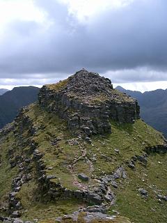
| 1100 | 0850 | Cross the pinnacles (with unavoidable minor scrambling): W to 2nd pinnacle |
855 | 835 | 2.75 miles | NG87516122 |
| 1110 | 0900 | W to 3rd pinnacle Na Rathanan (highest) | 866 | 865 | 2.9 miles | NG87306134 |
| 1120 | 0905 | WSW to col | 760 | 3.05 miles | NG87086132 | |
| 1140 | 0930 -0935 |
W up to M Sgurr Mhor | 986 | 1090 | 3.4 miles | NG86566132 |
| 1200 | 0950 | SW to col then up to rounded bump | 855 | 1115 | 3.8 miles | NG85996103 |
| 1210 | 0955 | SW/S round to col Fasreidhnean Beinn Alligin | 767 | 4.05 miles | NG85866066 | |
| 1225 | 1015 -1020 |
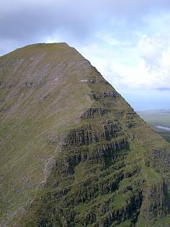
Ascend rocky but very easy ridge southwards to M Tom na Gruagaich (trig pt) |
922 | 1270 | 4.35 miles | NG85956016 |
| 1230 | — | Option: Cross westwards to W top of Tom na Gruagaich | 900 | 1285 | 4.45 miles | NG85786012 |
| Large cairn in col marking descent path into Coir nan Laogh. | 880 | 4.5 miles | NG85836006 | |||
| 1110 | Path SSE to stile over deer fence. From the corrie exit the path follows a straight line back to W end of bridge at car park. (It is peat boggy at the bottom, gravelly and sandy at the top.) |
|||||
| 1345 | 1125 | Path SSE down to W end of bridge and car park | 40 | 1285 | 6.25 miles | NG86915761 |
| Previous | Top | Next |