Previous |
Colin's Munros |
Next |
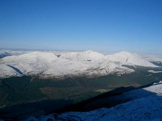
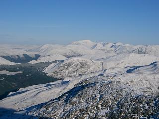
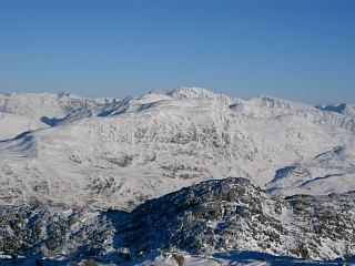
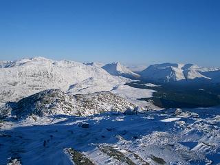
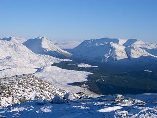
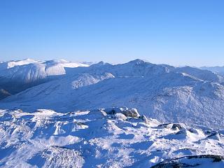
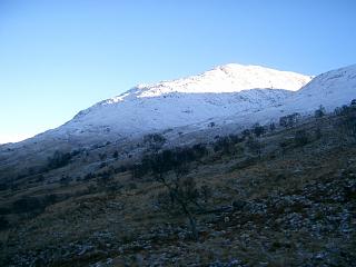
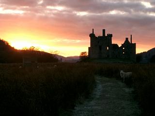
Comments: Beinn Sgulaird has fine views of the Glen Coe mountains, Mamores, Glen Etive etc. There are three routes recorded here, all starting close to Druimavuic gardens on Loch Creran. The first is the shortest and requires the least effort if the lower boggy slopes are frozen solid but it lacks any path. The second is the standard route and it has much better views although noticeably more ascent than the first because of various tops along the main ridge – 400m=1300' more. The third includes the neighbouring Corbett Creach Bheinn.
Route 1
| 0910 | Park on old road near road to Taraphocain Farm NN010455 | 0 |
| 0925 | Walk NE on private road to track 400yds before Taraphocain Farm |
10 |
| 1140 | Take track up for about 500 yds, then head E up slopes of Beinn Sgulaird, N of Meall Garbh, to Coire nan Capull then SE to col at NN050454. |
780 |
| 1210 | NNE up ridge to M Beinn Sgulaird NN053460 | 937 |
| 1240 | Return SSW to col at NN050454. | 780 |
| 1410 | Retrace steps NW then W back to Taraphocain Farm road | 10 |
| 1425 | SW back to car on old main road at head of Loch Creran. | 0 |
Route 2
| 1015 | Start at layby parking on old road, immediately N of Druimavuic gardens by track into forest from N end of Druimavuic Garden driveway loop. |
0 | 0.0 miles |
| 1040 | Track SE through forest & then ziz-zagging above Allt Buidhe to cairn at top end of large zag to right |
||
| 1105 | Path ENE up ridge to pentagonal boulder | ||
| Ascend path by Allt Buidhe, then E to near pt 488 NN02454502 |
488 | 1.25 miles | |
| 1120 | Continue along path to far side of cliff before descending to the col just E of pt 488. |
455 | 1.3 miles |
| 1215 -1220 |
Path E to top at NN04304479 | 863 | 2.4 miles |
| NE to col | 785 | ||
| 1245 | NNE to Meall Garbh NN04784518 | 848 | 2.8 miles |
| 1250 | NE to col at NN050454. | 780 | 2.95 miles |
| 1320 -1325 |
NNE up ridge to M Beinn Sgulaird (big cairn) NN05334609 Orange. (Despite map contours, there is not a double top, just a 1-2m dip) |
937 | 3.5 miles |
| 1345 -1350 |
Return same way: SSW to col at NN050454. | 780 | |
| 1400 | SW to Meall Garbh | 848 | 4.17 miles |
| 1420 | SW to top | 863 | 4.57 miles |
| 1500 | W to col just E of pt 488 | 455 | 5.67 miles |
| 1505 | Path by pt 488 above col | 488 | |
| 1512 | Path WSW dn ridge to pentagonal boulder | ||
| 1525 | Path WSW to track by cairn at path end | 6.4 miles | |
| 1540 | Track NW back to car on old main road at Druimavuic (Loch Creran) Orange |
0 | 7.0 miles |
Route 3
| 0800 | Start at layby parking on old road, immediately N of Druimavuic gardens by track into forest from N end of Druimavuic Garden driveway loop. |
0 | 0.0 miles |
| 0825 | Track SE through forest & then ziz-zagging above Allt Buidhe to cairn at top end of large zag to right |
||
| 0845 | E on new bulldozed track to end at old track NN02374430 |
240 | 1.1 miles |
| 0930 | Old track E to bealach NN04454401 (Alternatively go directly to col at NN03574321) |
560 | 2.45 miles |
| 0955 | Ridge SW to Creag na Cathaig, NN03774340 | 662 | 3.0 miles |
| 1000 | SW to col, NN03574321 | 615 | 3.2 miles |
| 1030 | WSW to bump at ridge end, NN02964295 | 804 | 3.6 miles |
| 1055 | SW to C Creach Bheinn (trig pt) NN02394227 | 810 | 4.15 miles |
| 1115 | Return NE to bump at ridge end, NN02964295 | 804 | 4.7 miles |
| 1140 | NE over col to Creag na Cathaig, NN03774340 | 662 | 5.3 miles |
| 1200 | NE to bealach at track crossing NN04454402 | 560 | 5.85 miles |
| 1240 -1250 |
Ridge N to top at NN04304479 | 863 | 6.35 miles |
| 1300 | NE to col | 785 | |
| 1310 | NNE to Meall Garbh NN04784518 | 848 | 6.75 miles |
| 1320 | NE to col at NN050454. | 780 | 6.9 miles |
| 1350 | NNE up ridge to M Beinn Sgulaird (big cairn) NN05334609 Orange. (Despite map contours, there is not a double top, just a 1-2m dip) |
937 | 7.45 miles |
| 1410 | Return along ridge: SSW to col at NN050454. | 780 | |
| 1425 | SW to Meall Garbh | 848 | 8.15 miles |
| 1445 -1455 |
SW to top | 863 | 8.55 miles |
| 1535 | W to col just E of pt 488 | 455 | 9.65 miles |
| 1540 | Path by pt 488 above col | 488 | 9.7 miles |
| Path WSW dn ridge to pentagonal boulder | |||
| 1610 | Path WSW to track by cairn at path end | 10.4 miles | |
| 1625 | Track NW back to car on old main road at Druimavuic (Loch Creran) Orange |
0 | 10.9 miles |
| Previous | Top | Next |