Previous |
Colin's Munros |
Next |
Access: From Spean Bridge, follow A82 north as far as Laggan.
Immediately after the swing bridge, turn left and park after 2 miles at Kilfinnan.
Either park at end of tarmacked road just before bridge or
continue up hill for ½ mile to forestry gate and park there (extremely limited space).
Route: Excellent tracks and mostly good paths.
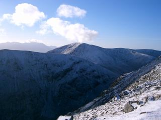
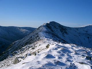
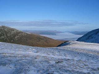
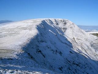
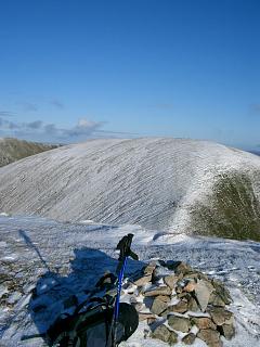
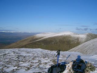
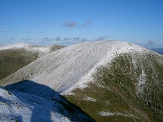
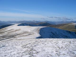
The east ridge of Sron a' Choire Ghairbh has excellent views
and well worth the variation of a steep ascent to reach it.
Similarly, Meall Coire Lochain to the SW of Meall na Teanga is an easy and worthwhile addition.
The distance and ascent are for the walk with all the extras, as in the gpx route.
N.B. The NE face of Meall na Teanga has a cornice in winter,
and this can give rise to avalanches across the path up its north ridge.
The Corbett Ben Tee (901m) NN24099718 is easily added to the walk if Sron a' Choire Ghairbh
is done after Meall na Teanga, as below.
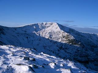
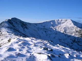
Weather 17/11/05: Cloudless cold dry day, very light NE wind, –2°C.
| 0915 | Park at Kilfinnan just before forestry gate (or at parking by bridge) |
55 | 0 | 0.0 miles | NN27749581 | Orange |
| 0940 | Head SW on higher track (right at fork; not Great Glen Way) to Junction with path (at marked post) |
110 | 110 | 2.15 miles | NN25119361 | |
| 0955 | Ascend NW on path through forest to forestry gate | 230 | 210 | 2.4 miles | NN24779380 | |
| 1010 | Continue Cam Bhealach path for ½ mile/1km | 360 | 360 | 3.0 miles | NN23789387 | |
| 1105 | Either: (in good weather for view) Direct ascent N to col in ridge. |
820 | 800 | 3.5 miles | NN23459456 | |
| 1130 | W along ridge to cairn on top | 895 | 905 | 4.1 miles | NN22569417 | |
| NW to col | 875 | 4.2 miles | NN22439425 | |||
| – | Or: (in poor weather for those that like paths) Continue path to Cam Bhealach |
615 | 607 | 3.95 miles | NN22269367 | |
| – | N to col | 875 | 4.2 miles | NN22439425 | ||
| 1145 | Then: NW to M Sron a' Choire Ghairbh | 937 | 955 | 4.45 miles | NN22259455 | Orange |
| 1220 | Return S to bealach. (Excellent path but too well-graded for efficient descent.) |
615 | 5.1 miles | NN22309369 | ||
| 1300 -1305 |
Sometimes boggy path S skirting to W of Meall Dubh to M Meall na Teanga |
918 | 1260 | 5.95 miles | NN22049245 | Weak Orange |
| 1320 -1325 |
Optional detour: SW to Meall Coire Lochain | 906 | 1360 | 6.4 miles | NN21549197 | No Orange |
| 1345 -1350 |
Return NE to M Meall na Teanga | 918 | 1465 | 6.85 miles | NN22049245 | |
| — | Optional detour: N/NE/E to Meall Dubh | 837 | 1600 | 7.8 miles | NN22949317 | |
| 1415 | Return N to bealach | 615 | 8.35 miles | NN22309369 | ||
| 1500 | Descend E to forestry gate | 230 | 9.9 miles | NN24779380 | ||
| 1510 | Descend path E to forestry track | 110 | 10.15 miles | NN25119361 | ||
| 1540 | NE along forest track to car at Kilfinnan | 55 | 1650 | 12.3 miles | NN27749581 | Orange |
Route: The version below includes Ben Tee, 901m, NN24099718, a very shapely Corbett
when viewed from the south as in this walk where it is left until the end
in case there is not enough time. Ben Tee adds 370m (1200') to the ascent,
giving a total of 12.2 miles and 1690m (5550') ascent if nothing else is added.
The ridge over to Ben Tee gives the very best view of this magnificent mountain,
but its fragile mosses have been trampled and loosened by deer and are consequently
being blown away. (The deer hoof prints are clearly visible.)
Weather 25/05/10: 4°C, occasional light showers, spot of snow on Ben Tee,
mostly dry but cloudy. Short sunny spells. Tops free of cloud. Light cool breeze.
| 0700 | Park at Kilfinnan at notice after bridge (or at parking by bridge) |
55 | 0 | 0.0 miles | NN27659573 | Orange |
| 0705 | Track SW to forest gate and fork in track | |||||
| 0735 | Head SW on higher track (right at fork; not Great Glen Way) to Junction with path (at marked post) |
110 | 50 | 2.15 miles | NN25109361 | |
| 0750 | Ascend path NW through forest to forestry gate | 230 | 180 | 2.4 miles | NN24709378 | |
| 0845 | Continue path to Cam Bhealach | 615 | 607 | 4.0 miles | NN22269367 | |
| 0930 | Sometimes boggy path S skirting to W of Meall Dubh to M Meall na Teanga (Possible detour SW to Meall Coire Lochain) |
918 | 915 | 4.8 miles | NN22049247 | Orange |
| 0955 | Return N/NE to col | 705 | 5.3 miles | NN22279316 | ||
| 1015 | Optional detour: ENE/ESE to Meall Dubh | 837 | 1045 | 5.75 miles | NN22949317 | |
| 1040 | Descend NW directly back to bealach | 615 | 1045 | 6.3 miles | NN22269367 | |
| 1120 -1125 |
Path N to M Sron a' Choire Ghairbh. (Excellent for ascent but too well-graded for efficient descent) |
937 | 1370 | 6.95 miles | NN22259455 | Orange |
| NNW to bump at col | 880 | 1390 | 7.6 miles | NN21719532 | ||
| NNE skirting Meall a'Choire Ghlais | 901 | 1425 | 7.85 miles | NN21939571 | ||
| ENE to col | 875 | 8.1 miles | NN22309582 | |||
| 1200 -1220 |
Ridge ENE to cairn at E end of ridge | 900 | 1455 | 8.5 miles | NN22909608 | |
| 1250 -1255 |
Ridge N to bump, then descend E to bealach | 540 | 9.5 miles | NN23159680 | ||
| 1350 -1400 |
ENE up ridge to C Ben Tee | 901 | 1818 | 10.15 miles | NN24079720 | Orange |
| Down E ridge of Ben Tee to about 650m | 650 | 10.85 miles | NN251974 | |||
| SE over moor to FC gate on path above gorge | 300 | 12.4 miles | NN274966 | |||
| 1555 | Path SE above gorge to road at Kilfinnan | 55 | 1818 | 12.9 miles | NN27749581 | |
| 1600 | SW uphill to car (or at parking by bridge) | 55 | NN27659573 | Orange |
| Previous | Top | Next |